

Santa Marta: Caribbean Forests, Ancient Paths, and the Living Spirit of Colombia

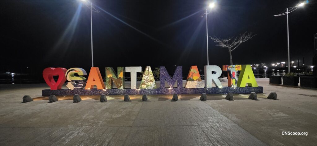
Santa Marta: Caribbean Forests, Ancient Paths, and the Living Spirit of Colombia
Santa Marta is one of those rare places where the sea, the mountains, and deep human history meet in a single breath. Set on Colombia’s Caribbean coast, it is often described as the country’s oldest surviving Spanish-founded city, but its story reaches far beyond colonial dates. Long before ports and plazas, this region was part of a vast Indigenous homeland shaped by the Sierra Nevada de Santa Marta, the world’s highest coastal mountain range.
For travellers who care about nature, culture, and community, Santa Marta offers more than beautiful views. It invites us to slow down, listen, and recognize that landscapes are living places. From the beaches of Tayrona National Natural Park to the waterfalls and cloud forests of Minca, this region shows how biodiversity and human responsibility are deeply connected.
A City Rooted in History and Everyday Culture
Walking Through Santa Marta’s Past
Santa Marta was founded by the Spanish in 1525, making it one of the oldest colonial cities in South America. Its historic centre still carries traces of that layered past, with plazas, churches, colourful streets, and shaded courtyards that invite wandering. The city is also closely linked to Simón Bolívar, who spent his final days at Quinta de San Pedro Alejandrino, now a cultural and historical site.
Yet the deeper history of Santa Marta belongs to the Indigenous peoples of the Sierra Nevada. The Kogi, Arhuaco, Wiwa, and Kankuamo communities continue to hold this mountain region as sacred territory. Their worldview sees the Sierra as the “heart of the world,” a place whose balance affects all life. For visitors, this is a powerful reminder that travel is not only about seeing new places, but about approaching them with humility.
Food, Music, and Community Life
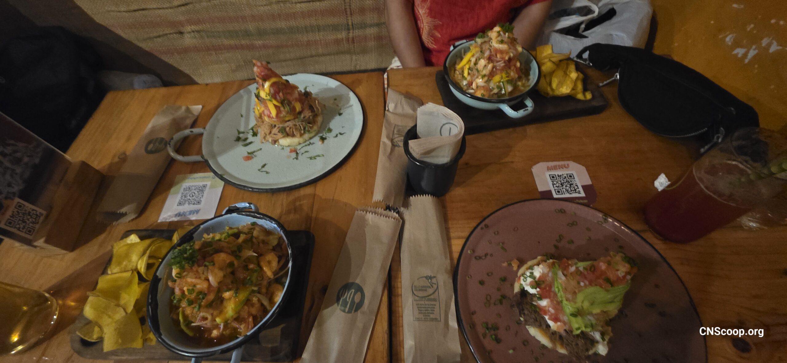
The culture of Santa Marta is warm, coastal, and full of movement. Street vendors offer arepas de huevo, fresh fruit juices, coconut sweets, and seafood dishes shaped by Caribbean flavours. Music drifts from neighbourhood corners, and evenings along the waterfront bring families, travellers, and local residents together.
For a community like CNS, Santa Marta’s daily rhythm offers a familiar lesson: strong places are built through shared spaces. Markets, beaches, cafés, and public squares become meeting points where stories are exchanged and belonging grows.
Tayrona National Park and the Sacred Coast
Where Jungle Meets the Caribbean Sea
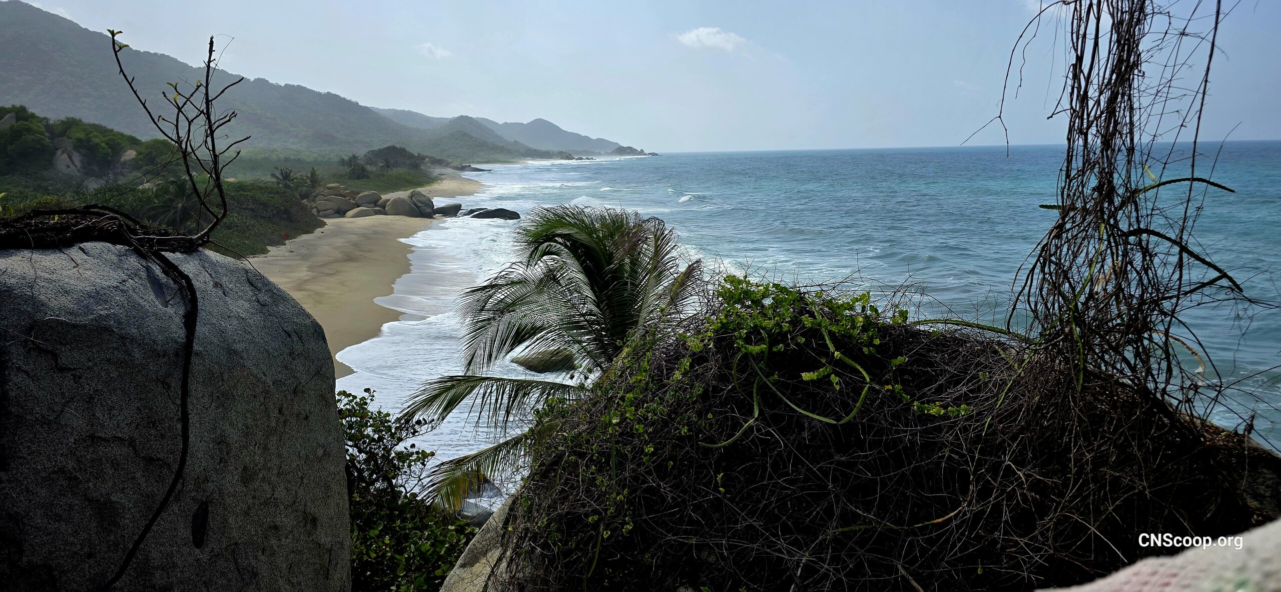
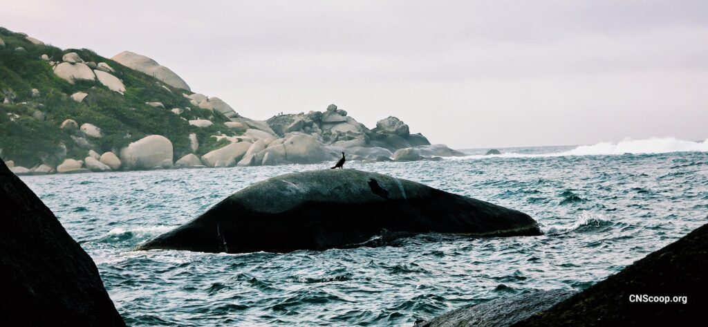
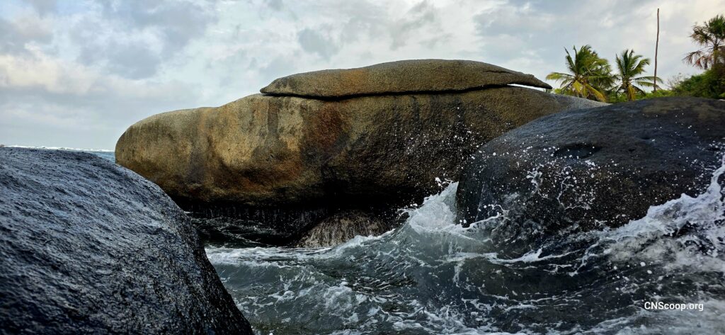
Tayrona National Natural Park is one of Colombia’s most celebrated protected areas, and for good reason. Within a single journey, visitors may pass through dry tropical forest, humid jungle, giant boulders, mangroves, coral-edged beaches, and turquoise bays. Trails lead to places such as Cabo San Juan, Arrecifes, La Piscina, and Playa Cristal, each with its own mood and ecological character.
The park is home to monkeys, iguanas, tropical birds, reptiles, and countless plant species adapted to the coastal climate. The meeting of mountains and sea creates extraordinary biodiversity, making Tayrona a place where conservation feels immediate and visible.
Respecting Indigenous Presence and Protection
Tayrona is not just a national park. It is part of ancestral Indigenous territory connected to the wider Sierra Nevada de Santa Marta. Indigenous communities continue to live in and around this sacred region, protecting traditions, languages, and ecological knowledge passed down through generations.
At times, the park closes temporarily at the request of Indigenous authorities for spiritual and environmental restoration. These closures are not interruptions; they are acts of care. They remind visitors that land needs rest, and that conservation includes cultural respect as well as ecological protection.
Responsible travel in Tayrona means staying on marked trails, carrying out waste, avoiding wildlife disturbance, respecting sacred areas, and understanding that not every place exists for our access. Some of the most meaningful travel lessons come from knowing when to step lightly.
Minca, Waterfalls, Birds, and the Real El Dorado
A Mountain Village Above the Heat
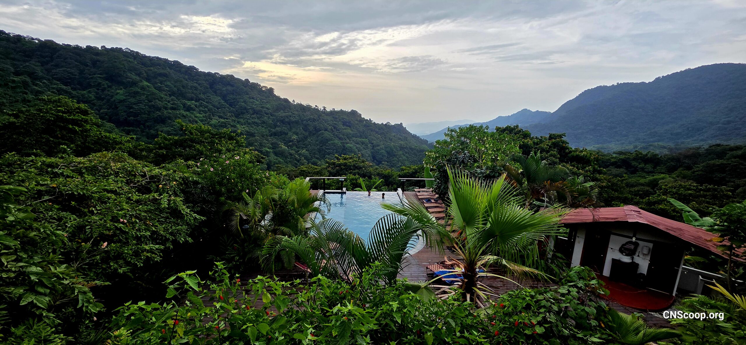
Just above Santa Marta, the village of Minca offers a cooler, greener world. Nestled in the foothills of the Sierra Nevada, Minca has become known for waterfalls, coffee farms, cacao experiences, forest walks, and mountain viewpoints. Places like Pozo Azul and Marinka Falls are beloved for their refreshing pools, while nearby trails lead through lush vegetation alive with sound.
Minca is also a place to learn about small-scale farming and the connections between soil, water, shade, and community livelihoods. Coffee and cacao grown in these hills tell a story of climate, patience, and local knowledge. Visiting with care helps support families and guides who depend on responsible nature-based tourism.
The Birdsong of the Sierra
The Minca region and the higher cloud forests of the Sierra Nevada are famous among birdwatchers. More than 400 bird species have been recorded in the broader area, including many found only in this mountain range. Hummingbirds, toucans, tanagers, woodpeckers, and endemic species turn the forest into a living chorus from dawn onward.
Nearby conservation areas, including the renowned El Dorado Reserve, reveal a different meaning of “El Dorado.” Instead of a lost city of gold, the true treasure is biodiversity: birds flashing through mist, ancient trees holding water, and communities working to protect habitat. This is a richer kind of wealth, one that cannot be mined without being lost.
For CNS-minded travellers, Minca offers inspiration for how communities can live closer to ecological systems. Clean water begins in forests. Birds depend on connected habitat. Local economies thrive when nature is treated as a partner rather than a resource to exhaust.
Conclusion
Santa Marta is more than a gateway to beaches or mountain adventures. It is a living classroom where history, culture, Indigenous guardianship, and biodiversity meet. Its old streets tell stories of colonial change, while the Sierra Nevada speaks through rivers, forests, birds, and the communities who continue to protect it.
To explore Santa Marta well is to travel with gratitude. It means celebrating the beauty of Tayrona while respecting its sacred role, enjoying Minca’s waterfalls while recognizing the forests that feed them, and seeing El Dorado not as gold, but as life itself. In that spirit, Santa Marta offers a journey that is not only unforgettable, but deeply grounding.





Responses