

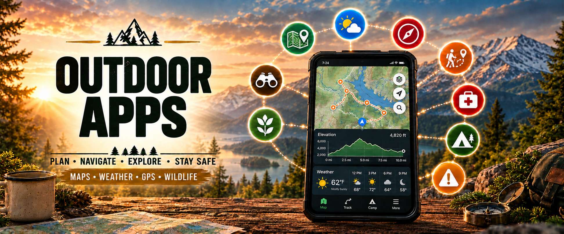
Choose the right tool for your adventure
Filter the toolbox by activity or planning need. Tools marked ⭐ CNS Recommended are strong starting points for most CNS members and leaders.
CalTopo ↗
Advanced topo mapping, route creation, terrain analysis, slope-angle shading, satellite imagery and backcountry planning.
Gaia GPS ↗
Offline maps, hiking and backpacking routes, GPX support, topo and satellite layers, and GPS navigation.
AllTrails ↗
Find trails, reviews, photos, elevation profiles, route information and offline navigation options.
WTA Hiking Guide ↗
Washington trail descriptions, recent trip reports, conditions, access information and hiking resources.
onX Backcountry ↗
Topo maps, 3D terrain, land boundaries, route building and offline navigation for backcountry recreation.
Komoot ↗
Smart route planning for hiking, cycling and multi-day adventures based on terrain, surface and elevation.
Google Earth ↗
Explore mountains, valleys, trailheads and landscapes with satellite imagery and 3D terrain.
National Weather Service ↗
Official U.S. forecasts, alerts, warnings and point forecasts for outdoor planning.
Windy ↗
Interactive weather visualization for wind, rain, snow, temperature, clouds and forecast models.
Mountain-Forecast ↗
Elevation-specific mountain forecasts including temperature, wind, precipitation and freezing levels.
NWAC ↗
Pacific Northwest avalanche forecasts, mountain weather, observations and snowpack information.
Watch Duty ↗
Wildfire maps, incident updates, alerts and emergency information useful during fire season.
AirNow ↗
Official U.S. air quality index, smoke information and air-quality forecasts.
Recreation.gov ↗
Reserve campsites, wilderness permits, timed entry, lotteries, tours and recreation passes.
The Dyrt ↗
Campground search, campsite reviews, photos, amenities and camping information.
Garmin inReach ↗
Satellite messaging, location sharing, tracking and SOS communication outside cellular coverage.
Strava ↗
Record GPS activities, mileage, elevation, pace and performance, and share adventures socially.
Garmin Connect ↗
Activity history, GPS tracks, fitness metrics, health data and performance analysis.
American Red Cross First Aid ↗
Emergency first-aid information and step-by-step guidance for common injuries and emergencies.
iNaturalist ↗
Identify and record plants, animals, fungi and insects while contributing observations to citizen science.
Seek by iNaturalist ↗
Camera-based identification of plants, wildlife, fungi and other organisms while exploring outdoors.
Merlin Bird ID ↗
Identify birds by sound, photo or description and build your personal bird list.
eBird ↗
Record bird sightings, create checklists, explore birding hotspots and contribute to citizen science.
Mountain Project ↗
Climbing areas, routes, grades, approaches, photos and community reports.
Peakbagger ↗
Peak lists, summit information, trip reports, personal climbing logs and peakbagging records.
USGS Water Data ↗
Real-time river gauges, streamflow, water levels and hydrologic information.
NOAA Tides & Currents ↗
Official tide predictions, coastal water levels, currents and marine information.
Paddling.com ↗
Kayaking and canoeing routes, launch points, trip information and paddling resources.
OpenSnow ↗
Mountain weather and snow forecasts designed for skiing, snowboarding and winter recreation.
Slopes ↗
GPS tracking for skiing and snowboarding, including speed, vertical, distance and resort information.
No tools match your filters. Try another category or search.

Ask Mr. Nature
Need help choosing outdoor apps? Ask Mr. Nature to recommend mapping, weather, safety, camping, climbing, and navigation tools for your next adventure.